GPC Group at GeoWorld 2024
GPC Group’s team recently participated in the GeoWorld 2024 event held in Dubai from 26-28 November 2024, where the company showcased its latest advancements in Spatial Data Infrastructure (SDI) and AI-driven solutions within the geospatial industry. The event provided...
Read moreGPC Group at Geospatial World Forum 2024
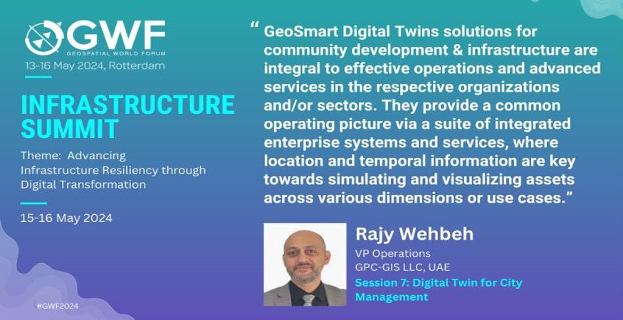
GPC Group, represented by its VP of Operations Mr. Rajy Wehbeh, participated on May 13-16, 2024, in the Geospatial World Forum in Rotterdam – Netherlands, where it featured its versatile services and long proven methodology and experience in developing...
Read moreGPC ICT Entering Esri Partnering Network Program
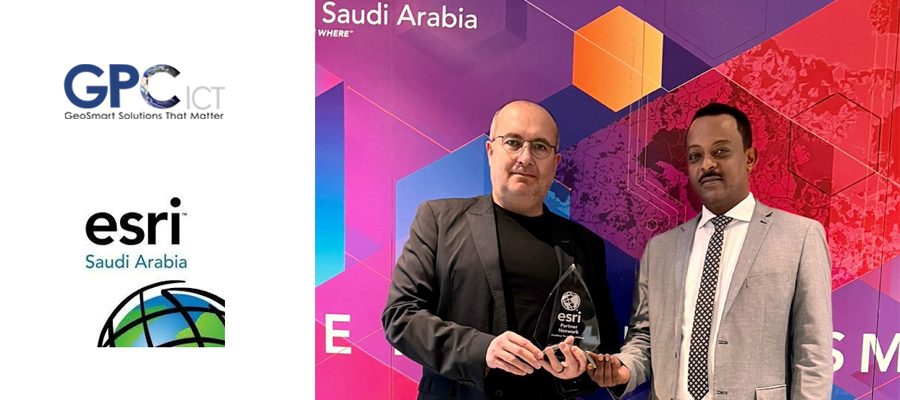
GPC ICT is excited to announce entering to the Esri Partner Network (EPN) program after signing the partnership agreement with Esri Saudi Arabia (ESRI SA). The GPC-ICT is a full service consulting and services/solutions implementation and delivery firm that...
Read moreGPC Group at Archeology Conference 2022
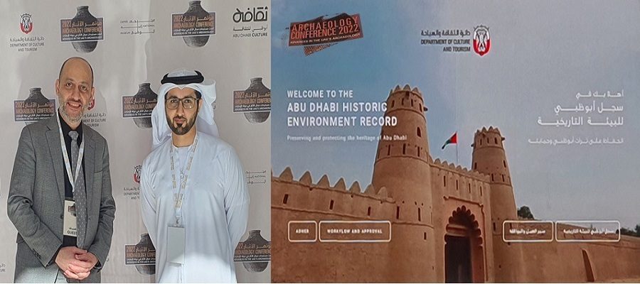
GPC had the honor to participate in the ARCHEOLOGY CONFERENCE 2022 that featured the Abu Dhabi Historic Environment Record (ADHER) solution among other programs that spoke volumes about the “Advances in the UAE’s Archeology”. What a moment of pride...
Read moreGPC Supporting NEOM Giga-Project In Quest for Sustainable Environmental Management
GPC-ICT, our Riyadh-based member of The GPC Group of companies has been commissioned to support NEOM in the planning and design of the NEOM Environmental Information Management System (NEIMS). This system will guide the design and development of people,...
Read moreUAE Federal Geographic Information Center Initiates NSDI Study and Design Phase
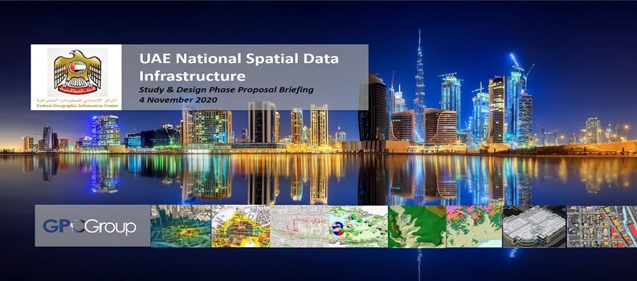
The UAE has been at the forefront for the adoption and effective utilization of GIS technology as a critical tool support the rapid economic development and expansion of the country’s cities, infrastructure and population over the past 25 years....
Read moreNew GPC Group Company Opens in KSA!!!
The GPC Group announces the opening of a new Group company, GPC ICT to cover our operations in the Kingdom of Saudi Arabia. The opening up of the country and fresh vision towards bringing new technology and innovative ideas...
Read moreAbu Dhabi Municipal Government Taking GeoSMART to the Next Level
GPC-GIS was recently awarded a contract to support the newly reformed Department of Municipalities and Transport (DMT) in conducting the Project “Preparation and Update of the Policies, Standards and Specifications of Spatial Data, Surveying and Addressing”, which is positioned...
Read moreThe Libyan Society For Remote Sensing and GIS
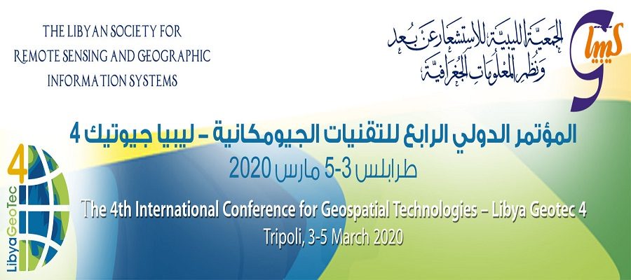
Having supported the planning and initial implementation of the Libya Spatial Data Infrastructure (LSDI) in 2006, the GPC Group is very proud of our local colleagues who have continued to champion the building of GIS capacity in the country...
Read moreRemote Sensing Discovery Day a Big Success!!
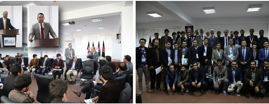
According to Mr. Mohammad Humayon Qayoumi, Acting Minister of Finance and Chief Adviser on Infrastructure and Technology to the President of Afghanistan, “Remote sensing and GIS are among the most important emerging technologies that are critical to national development...
Read more


